£260
STANFORD (EDWARD) – STANFORD'S LONDON ATLAS OF UNIVERSAL GEOGRAPHY, 1896 – LARGE FOLIO, 100 COLOUR MAPS
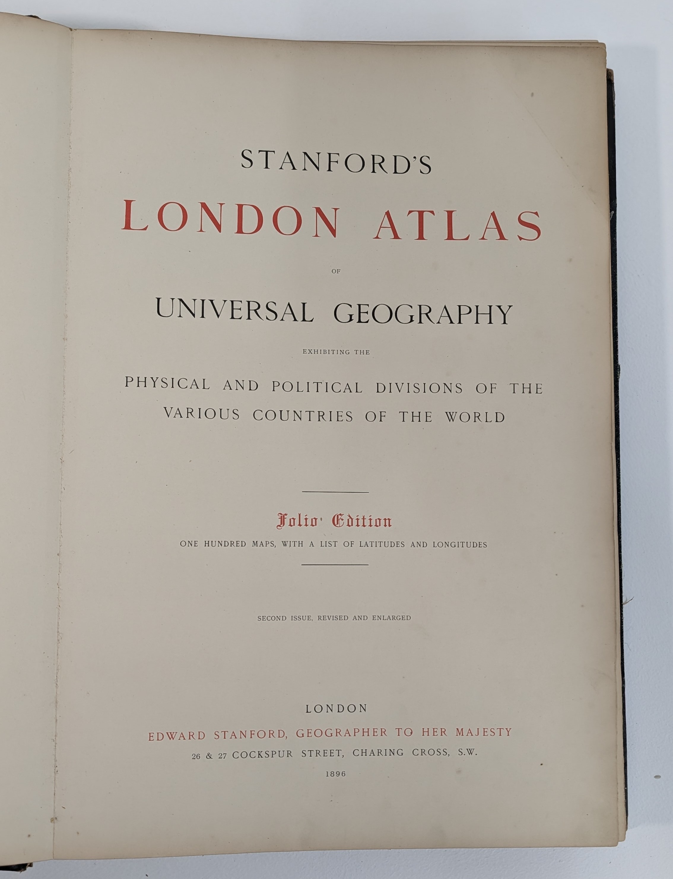
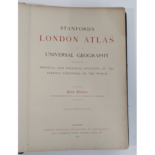
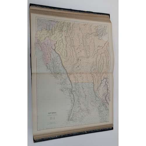
Stanford's London Atlas of Universal Geography, Exhibiting the Physical and Political Divisions of the Various Countries of the World, folio edition, one hundred maps with a list of latitudes and longitudes, second issue, revised and enlarged, London: Edward Stanford, Geographer to Her Majesty, 26 & 27 Cockspur Street, Charing Cross, 1896.
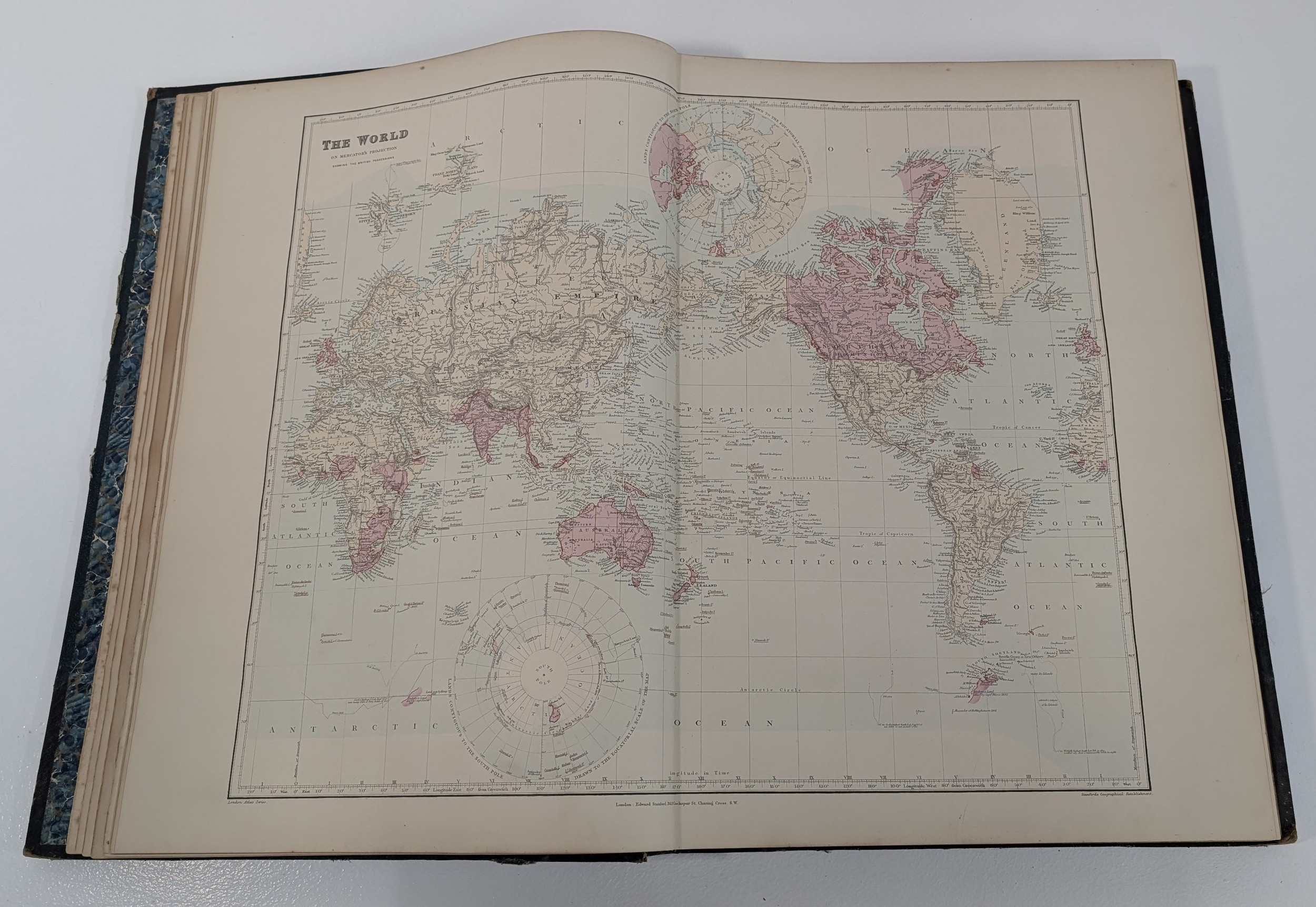
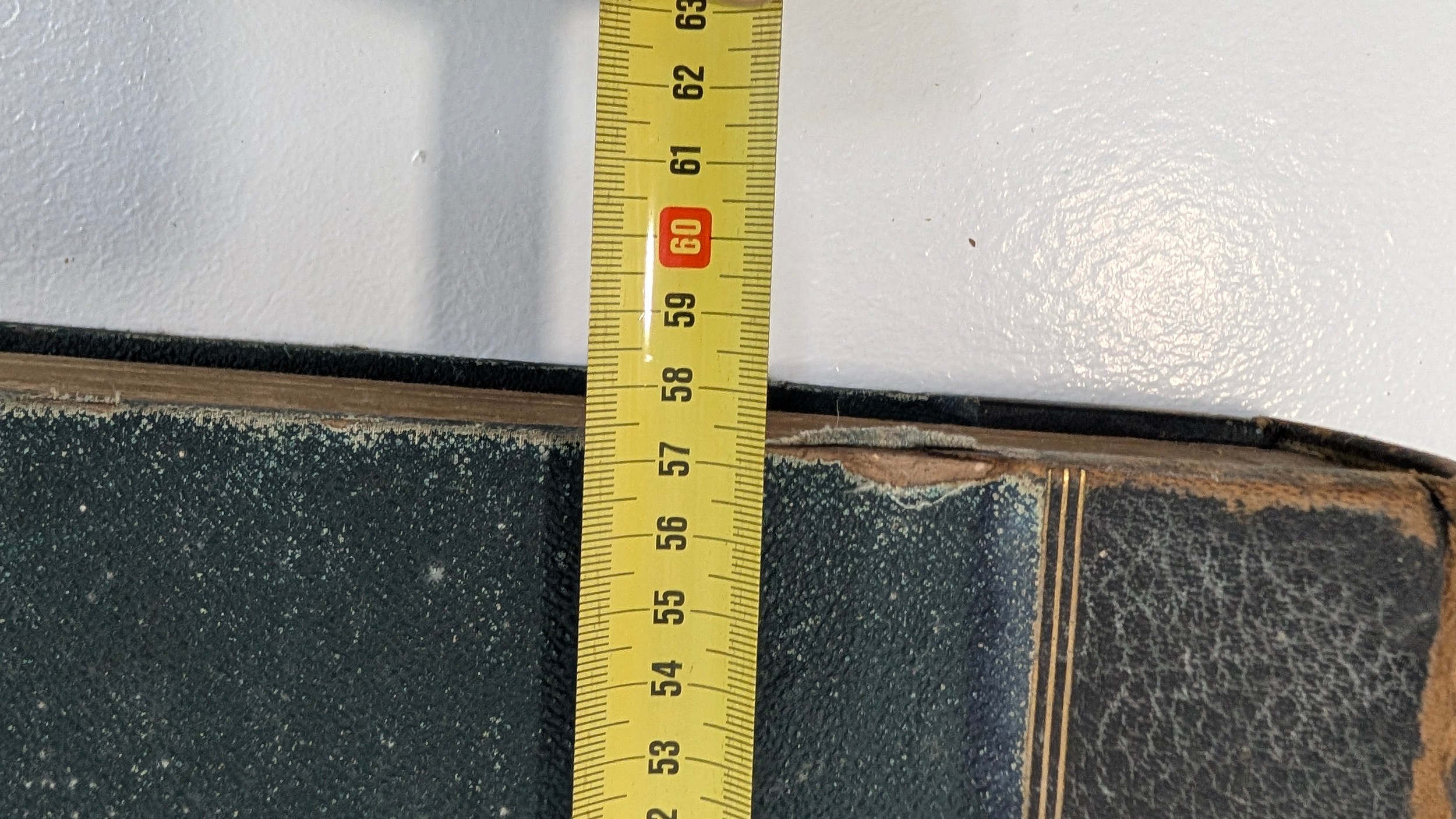
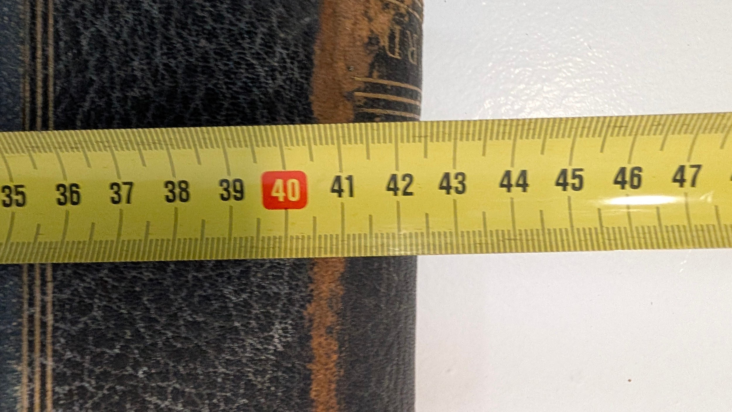
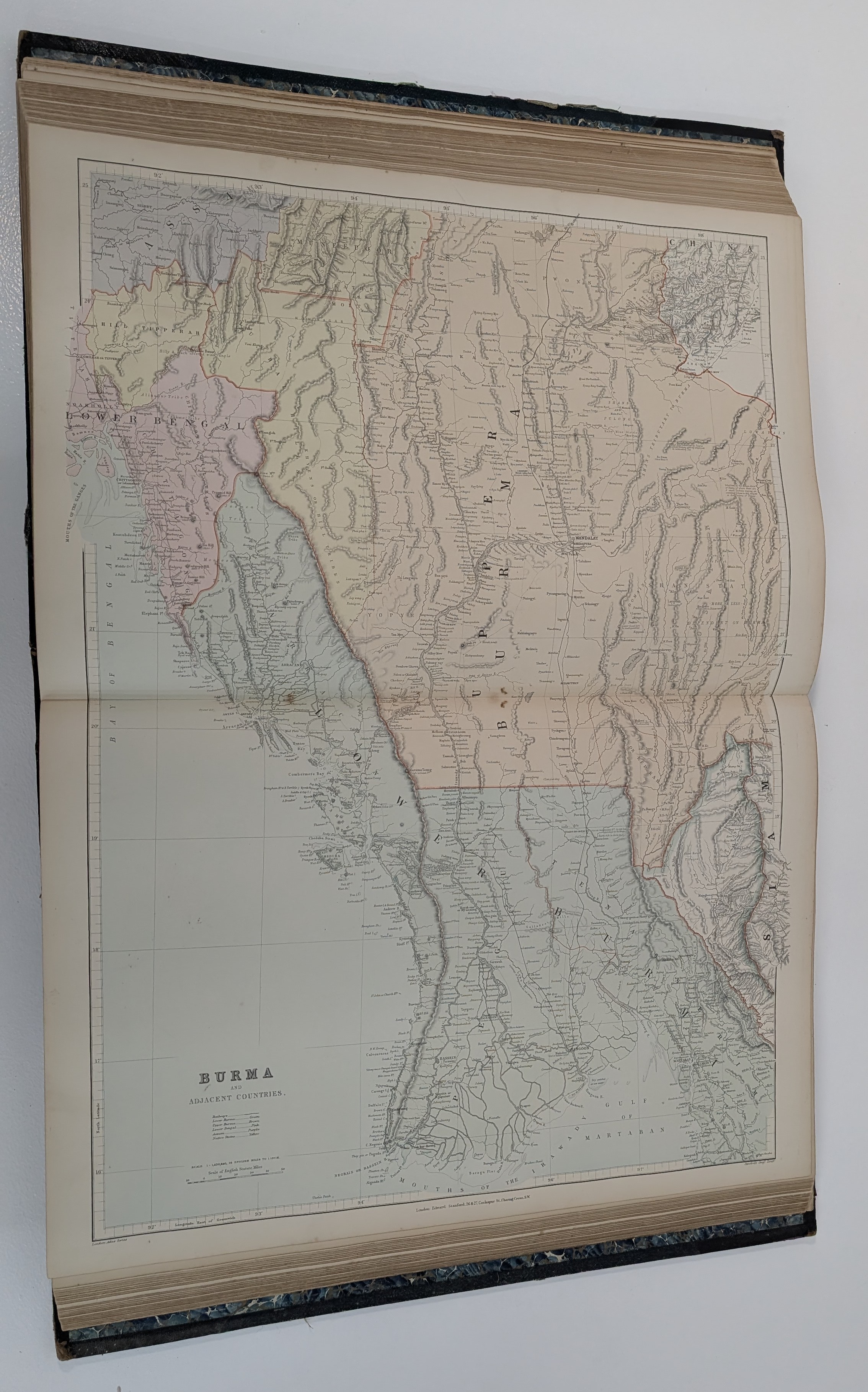
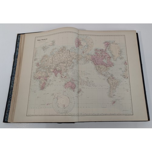
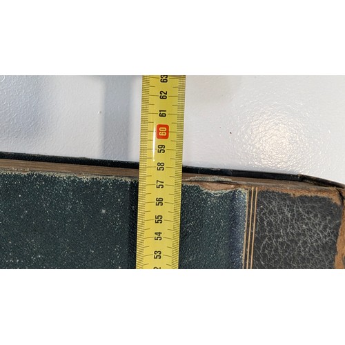
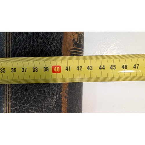
Impressive large-folio Victorian atlas, approximately 58 × 43 cm, illustrated with numerous finely detailed colour lithographic maps of the world, including 86 double-page and 14 single-page maps.
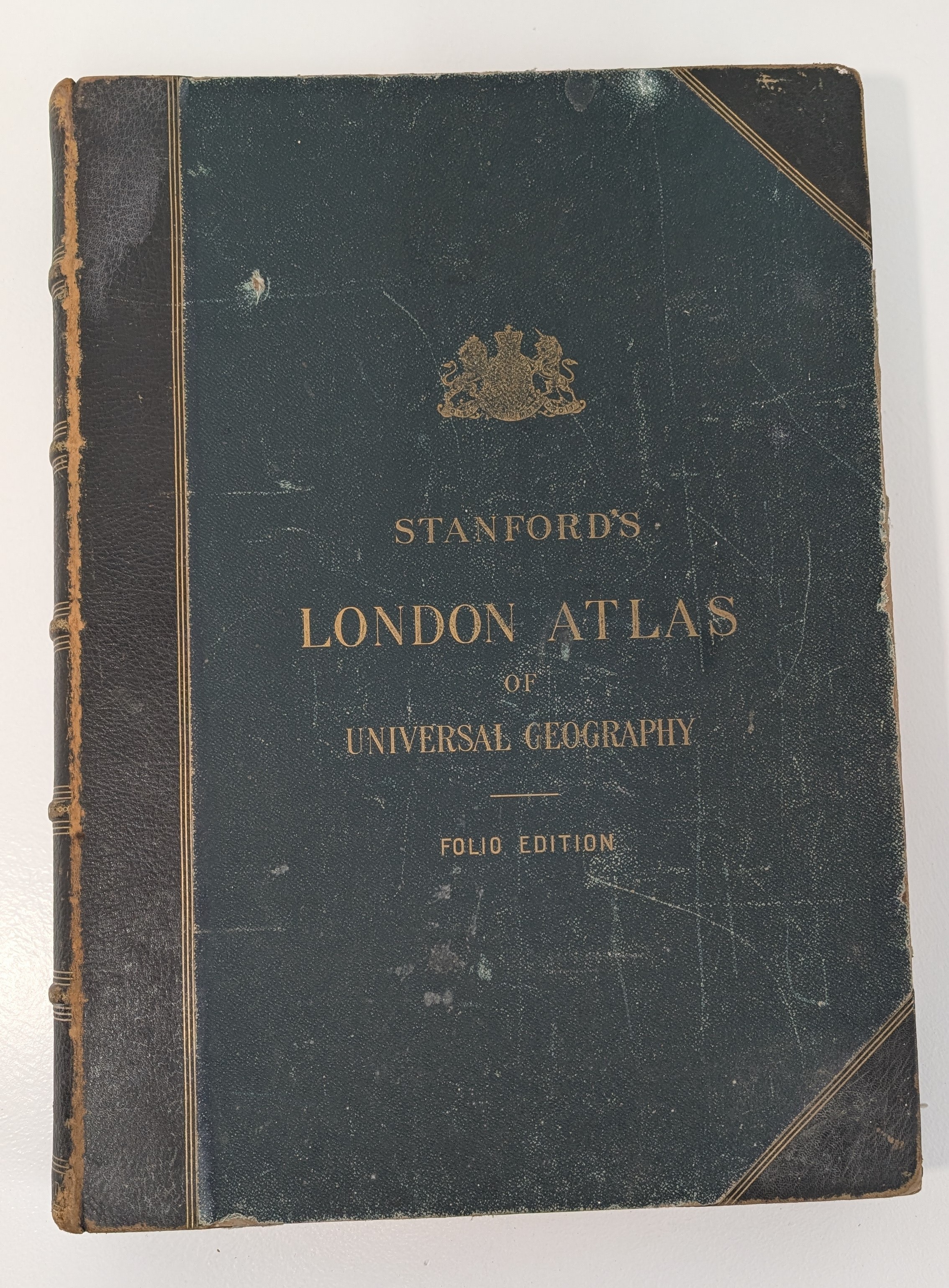
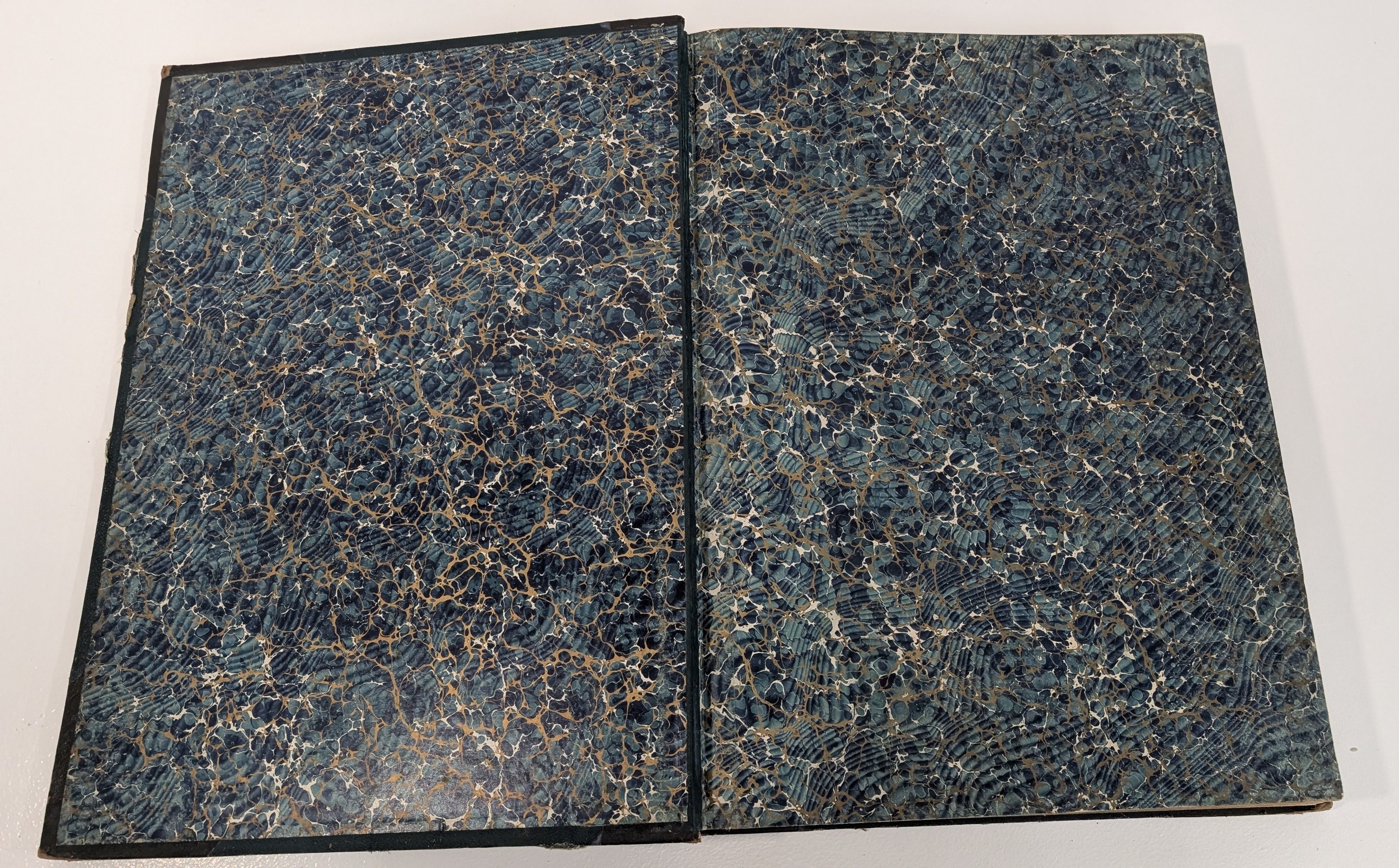
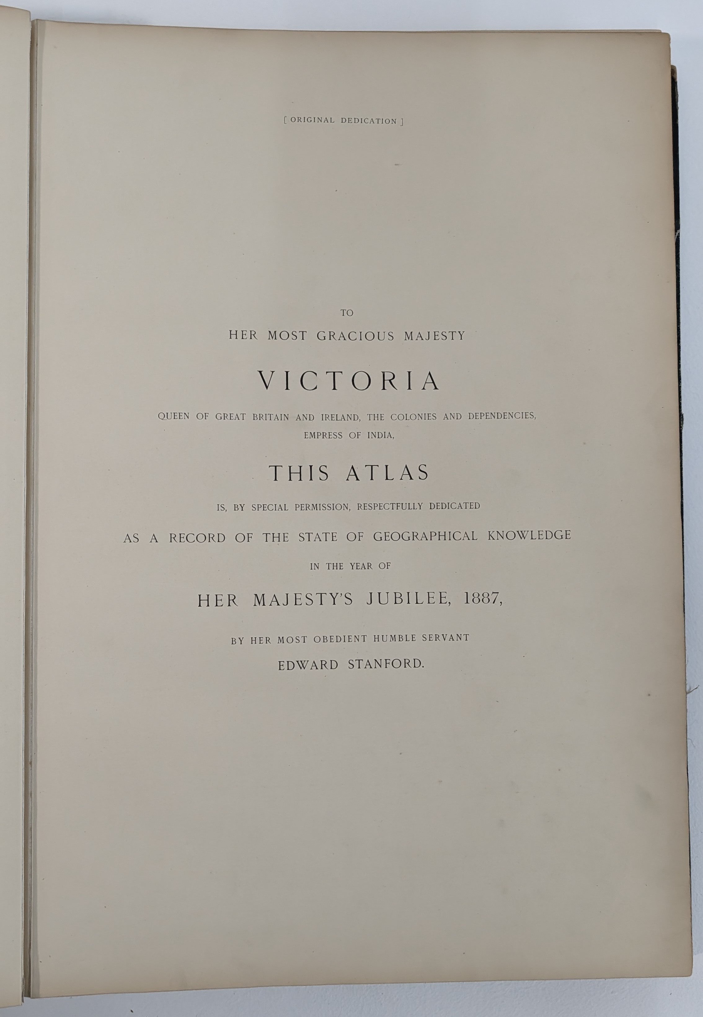
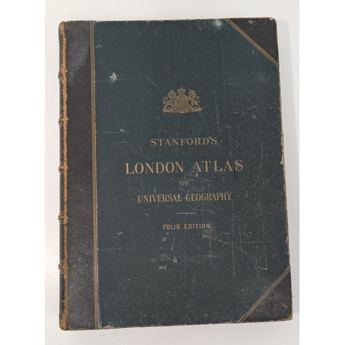
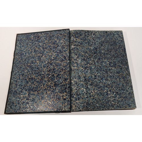
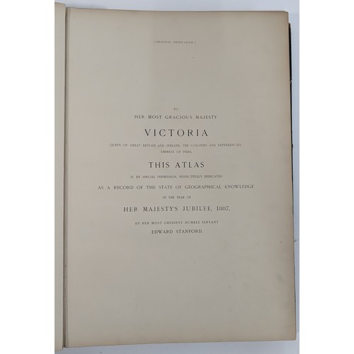
Original publisher's substantial half-leather binding with dark green cloth-covered boards, gilt royal arms and titles to upper board, gilt-decorated spine and corners, with marbled endpapers. Title printed in red and black and dedication to Queen Victoria.
Condition: binding heavily rubbed and worn, particularly to leather spine, joints, corners and board edges, with scuffing and surface losses as photographed; contents with general age-related toning and occasional marks, maps shown retaining strong colour.
Fees apply to the hammer price:
Room and Absentee Bids:
30% inc VAT*
Online and Autobids:
33.6% inc VAT*
33.6% inc VAT*
*These fees include buyers premiums and internet surcharges. Other fees may apply.